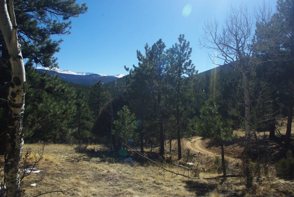
All full of nerves and excitement, one week before we were scheduled to close, with our offer accepted and only paperwork to wait on, we drove up to do an initial survey of the property. The sky was wide and clear. We wound our way up the road with the excitement that someday this would be our commute home.
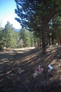
As with many old mining claims, now zoned for surface building rights, there are survey points dropped in the ground, but some more solidly and officially than others.![]() The point below has become one that we base many of our measurements off of, despite it being in a pile of rocks, not a solid concrete block.
The point below has become one that we base many of our measurements off of, despite it being in a pile of rocks, not a solid concrete block.
Our basic aim in this initial survey was to look at the boundaries of the two properties we have, called Myra and Banty, and see which of the many pretty spots may be our favorite for a house.

With some posts solidly in the ground, we ran string between them to get a better visualization of the property.
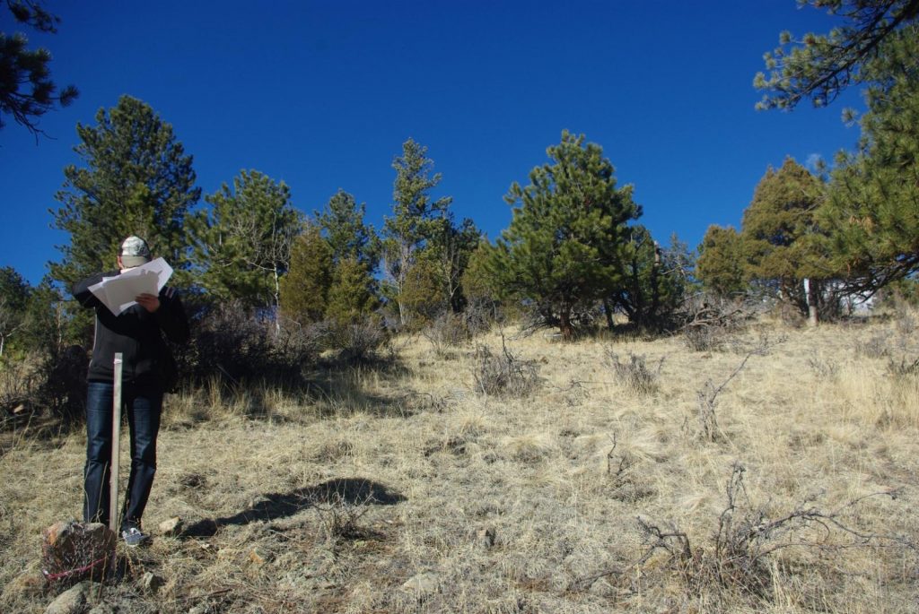
Between our maps, old survey sticks in the ground, and a fair bit of head scratching, we got a good lay of the land and then got to meet the neighbors.
It’s probably always a good idea to meet the neighbors before being 100% invested.